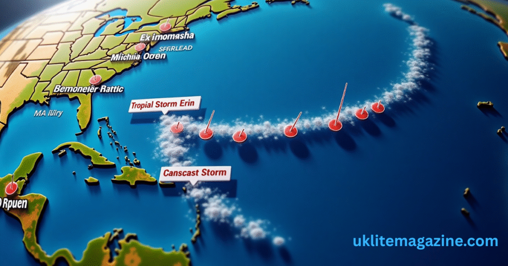
Tropical Storm Erin is steadily moving across the eastern Atlantic, and forecasters are closely watching its progress as it heads toward warmer sea temperatures — a factor that could give the system a dangerous boost in strength.
As of this morning, Erin is maintaining winds near 45 mph, but meteorologists say the storm has the right conditions ahead to intensify. Over the next 48–72 hours, it will move into an area where ocean surface temperatures are well above average for this time of year, creating a perfect environment for stronger convection and a tighter, more organized core.
Current Storm Details
| Parameter | Details |
|---|---|
| Storm Name | Tropical Storm Erin |
| Current Location | Eastern Atlantic, west of the Cabo Verde Islands |
| Maximum Sustained Winds | 45 mph (72 km/h) |
| Movement | West at 16 mph (26 km/h) |
| Central Pressure | ~1005 mb |
| Sea Surface Temperature Ahead | 28–29°C (82–84°F) |
| Projected Intensity | Could reach hurricane status by midweek |
| Potential Threat Areas | Lesser Antilles (watch for updates) |
Forecast Models Suggest Rapid Intensification
While computer models remain divided on the exact track, several show Erin developing into a hurricane by midweek. The possibility of it reaching “major hurricane” status cannot be ruled out if the warm-water trend and low wind shear continue.
“Once Erin reaches those warmer waters, we could see a quick jump in intensity,” one meteorologist noted during a morning briefing. “Right now, the system is over marginally warm seas, but that’s going to change rapidly as it pushes westward.”
Potential Impact Still Unclear
At this stage, no coastal warnings have been issued, as Erin remains far out to sea. However, forecasters are urging residents in parts of the Lesser Antilles and surrounding island chains to monitor updates closely, particularly as the storm’s path could shift in the coming days.
The key question remains whether Erin will curve northward into open water or continue a more westerly track toward land. A small change in steering winds could mean a significant difference in impact.
Why Warm Waters Matter
Tropical cyclones feed off heat and moisture from the ocean. When sea surface temperatures exceed about 26.5°C (80°F), storms gain energy more rapidly. Current readings along Erin’s projected path are hovering in the 28–29°C range — well within the danger zone for quick strengthening.
Preparedness is Key
Even though Erin is still days away from any possible land interaction, forecasters stress that preparedness is never wasted. History has shown that storms in the Atlantic can intensify quickly when the right ingredients come together.
For now, Tropical Storm Erin remains a system to watch closely. The coming days will reveal whether it remains a mid-level storm over open water — or turns into one of the season’s first major hurricanes.

